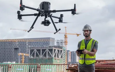
Drone Survey Services
Welcome to our Drone Survey Department, where cutting-edge technology meets unparalleled efficiency. We provide comprehensive drone survey services across various terrains, offering a faster, safer, and more accurate alternative to traditional surveying methods.
What We Offer
Large Area Surveys
Our advanced drones are equipped to handle extensive surveys with ease. Cover large areas quickly and efficiently, ensuring comprehensive data collection without the need for extensive manpower or prolonged field time.
Forest and Uneven Terrain Surveys
Navigate challenging environments such as forests and uneven terrains with precision. Our drones can access hard-to-reach areas, providing accurate surveys where traditional methods may fall short.
High Accuracy
Benefit from high-resolution imaging and advanced sensors that deliver precise measurements and detailed data, crucial for informed decision-making.
Time Efficiency
Save up to 85% of the time compared to conventional surveying methods. Our drone surveys are designed to maximize productivity and minimize disruption, allowing for faster project turnaround times.
Benefits of Drone Surveys

Cost-Effective
Reduce labor and operational costs with our efficient survey solutions.

Safety
Minimize risk by reducing the need for surveyors to access hazardous or difficult terrains.

Real-Time Data
Receive real-time data and instant insights, enabling quicker analysis and decision-making.

Environmental Impact
Conduct surveys with minimal environmental disturbance, preserving the integrity of natural landscapes.
Applications

Construction and Infrastructure
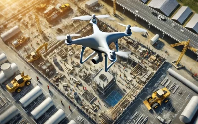
Monitor construction sites, inspect infrastructure, and ensure project compliance with ease.

Agriculture
Assess crop health, manage land use, and optimize agricultural practices through detailed aerial surveys.

Environmental Monitoring
Track environmental changes, manage conservation efforts, and conduct wildlife surveys

Urban Planning
Aid in urban development projects, zoning, and land-use planning with precise and comprehensive data.
How It Works
Why Choose Us?
- Expertise: Our team comprises experienced drone pilots and surveyors with extensive industry knowledge.
- Advanced Technology: We utilize the latest drones and survey equipment to deliver superior results.
- Customer-Centric Approach: We prioritize your needs, offering customized solutions and exceptional service.
Experience the future of surveying with our drone services. Enhance your projects with high-quality data, reduced costs, and faster completion times. Contact us today to learn more about how our drone surveys can benefit your next project.
Add some survey datas, survey related charts also should a reference video for how survey works, also may be an animation video( all department) to explain.
What is the best drone for land surveying?
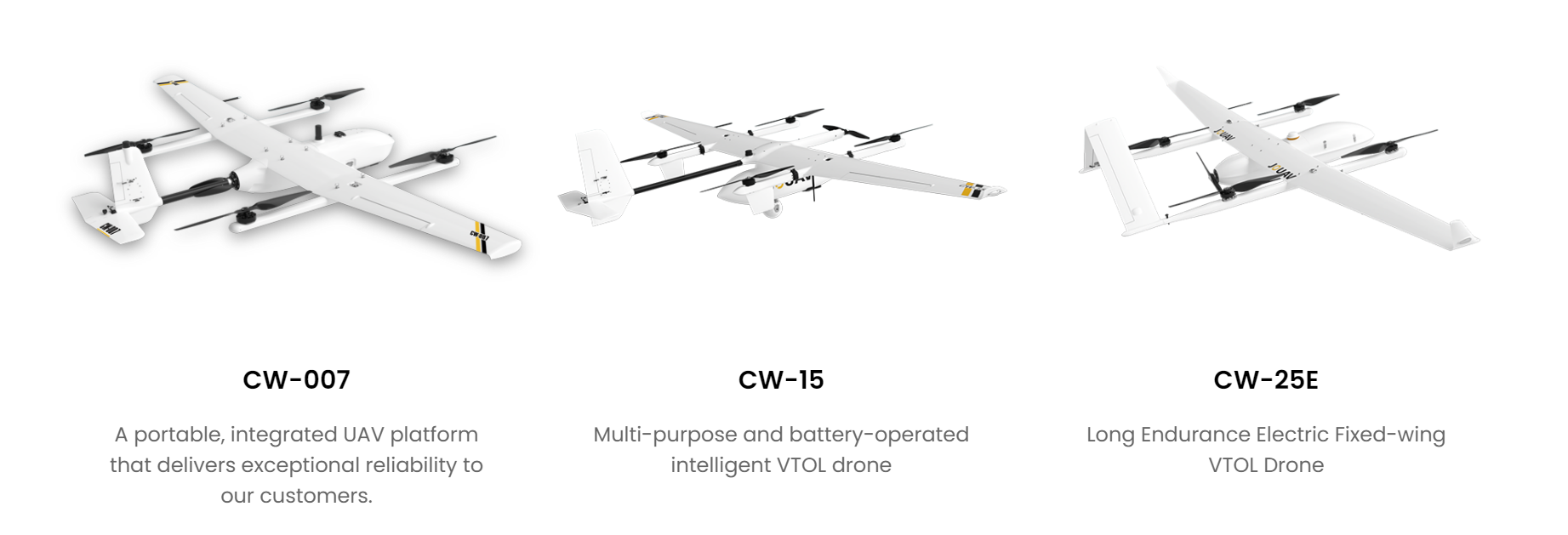
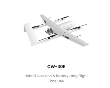
How to do drone survey with VTOL drones?
STEP 1
Check regulations and weather. Before flying a drone, you need to check local regulations to ensure that the drone is allowed to fly in the location you want to survey. Also, make sure there is no rain, fog, snowfall, or strong winds on the day you plan to fly.
STEP 2
Set up ground control points. When setting up ground control points, we need to consider the quantity, quality, and distribution. For a drone like the VTOL, which has an RTK module, we recommend that 5 checkpoints be set for each project, as the drone already has the ability to georeference the photos it takes with better than 1cm accuracy.
STEP 3
Set up overlap and flight mode. For most drone aerial surveys, the photo overlap should be set to 75/75 and the flight mode should be "lawnmower mode" or a sweeping flight path back and forth over the entire site.
STEP 4
Create survey flight plans with FlightSurv. You just need to click and drag points around the area you want to survey or import a KML file. When setting up, you'll need to set the flight altitude based on the accuracy you want and be aware of objects up to the height, and differences in altitude.
STEP 5
Fly and collect data. Now you need to unpack and assemble the drone, follow the interactive checklist and check each parameter one by one. After pressing the take-off button, the drone takes off autonomously and captures images without the pilot doing anything.
STEP 6
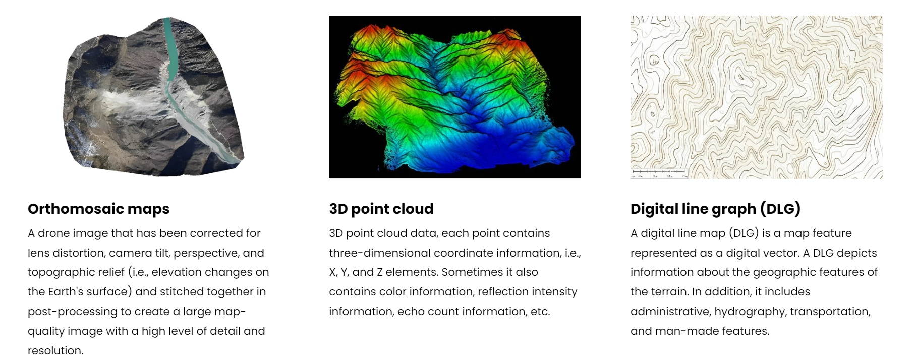
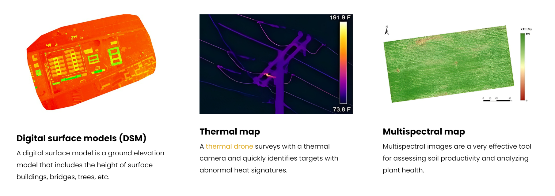
Post-analysis. After a few flights, you need to upload the images to a post-processing software that generates a 3D map or an orthomosaic map. Based on the images provided, you can focus on finding volume, geographic location, altitude, or damage.
What kinds of deliverables can you expect with drone surveying?
